Showing posts with label Coventry. Show all posts

Monday, 16 May 2016

Sowe Valley footpath

A full collection of photos from this trip can be found in the  Sowe Valley footpath album

Walking the Sowe Valley around Coventry has been on my 'to do' list for quite some time.  With our move away from the city coming ever closer I thought it was about time I got on with exploring it. The final incentive came when I spotted a new geocache published half way along the 8.5 mile route.


I decided to start at the southern end.  That way I would finish at the Greyhound pub in Hawkesbury Junction.  Where better to be aiming for on a sunny Sunday afternoon.

The only information I could find on the Sowe Valley footpath was a 15 year old leaflet.  It sketches out the route along the winding River Sowe in the form of a picture map.  There's mention of the footpath at the southern end being extended to take in Stonebridge Meadows Nature Reserve but I couldn't find any confirmation that this had occurred.  I decided therefore to park in Whitley and try to see if it was possible to walk south to Stonebridge Meadows. It's not.  It's a building site for the extension of the Jaguar works.

Sowe Valley footpath route

The walk for proper therefore started back in the peaceful Whitley Grove woods.  Unusually for Coventry it has some quite undulating paths.  The leaflet describes how the stone used to construct the original Coventry Cathedral was quarried here.

I've been to many of the locations along the Sowe Valley previously but at the same time I was pleasantly surprised how many of the locations were new to me.  After crossing the London Road I was in Willenhall Brookstay which included lovely narrow paths and trees full of blossom to a playing field with a Sunday morning football match in full swing.

Trees in blossom in Willenhall,a sight replicated regularly along the footpath.
After going under the main London to Birmingham railway line the path briefly crosses Allard Way via a of subways to take in Lindfield Park.

Lindfield Park

The other thing that surprised me was the large amount of greenspace adjacent to this path.  I suppose in a way I should be reassured.  Rivers after all flood and therefore space has to be kept free to allow for these natural occurrences.  For much of the Sowe Valley footpath you almost forget you are walking through the heart of a city.

Stoke Floods Nature Reserve, apparently formed when the nearby Binley coal works caused the land to subside. Subsidence isn't always a bad thing. 

My big moan of the day concerns signage.  If I had had a decent map or an electronic route I could have downloaded to my GPS then signage wouldn't necessarily have been important. In some places the signage was reasonable, in other places it only pointed in one direction, the direction from which I had already walked.  In other places it pointed in three directions.  Ahhhhhh!  And yes I did choose the wrong direction and ended up in Aldermans Green at one stage before backtracking.

Confusing signage on the Sowe Valley footpath

One of the  highlights of the day for me were probably the two lakes, Stoke Floods and Wyken Slough.  Why is it named Wyken Slough when Wyken is a long way away?  The other highlight was the blossoms.  Oh how I love May.  I with the whole year was like May sometimes.

I do love May!
Coal mining is closely associated with Coventry though there is little sign of any remains of the industry now within the city.  A significant part of this footpath is based on old mine works, and offers a stark contrast to these past activities.


Wyken Slough, a reclaimed former coal mine.
After passing Wyken Slough the path loops around, goes under the M6 and then I am back on familiar territory i.e. a short section of the Oxford Canal up to Hawkesbury Junction and the Greyhound at Sutton Stop.  The excursion at the beginning to Stonebridge Meadows and a couple of navigational errors probably made it a ten mile walk in total.

All credit to Coventry Council, the Friends of Sowe Valley and Warwickshire Wildlife Trust Warwickshire Wildlife Trust for keeping this footpath and its surroundings well-maintained.  Thanks.

Relaxing outside the Greyhound with a pint of Tunnel IPA at the end of the walk.


Thursday, 15 October 2015

Riding Europe's longest Urban Bus route.

Launched in 2013, Coventry's number 360  circular bus route claims to be Europe's longest urban bus route at 31 miles.  Some may wonder if the route was deliberately devised just to topple Birmingham's number 11 from that position.

The single decker version of the 360.  The route operates with both single and double decker buses.


The route of the 360 bus


Not only is it longer than Birmingham's route but it's quite different in character.  Whereas the Birmingham route takes in a variety of urban housing styles and different neighborhoods in terms of ethnicity and wealth, the Coventry route is striking in that its sameness.  Coventry like Birmingham has wonderfully ethnically diverse neighborhoods but the Coventry route all but mainly misses them out.  Instead the bus travels though numerous pre- and post-war housing developments.  Anyone with an interest in the history of city planning would have a field day on this bus.

I chose to start and end my journey in Greyswood Avenue.  At £3.80 for a day out it's not bad value for money.


As for the present, and an insight into the future, the route visits four key sites, Warwick University campus, the Jaguar-Land Rover Research Centre at Whitley, the University Hospital at Walsgrave and the Ricoh Arena. 

As for sites of historical significance then you have to have your wits about you to find them.  I am indebted to friend and local historian Dave Fry for drawing my attention to many of these.

My journey started in the Coundon area of the city by walking up the Holyhead Road, built by Thomas Telford to replace the Allesley Old Road that took traffic out of Coventry towards Birmingham.

The route goes through the suburbs of Eastern Green and Tile Hill where there is a station on the London to Birmingham West Coast Mainline for any bus devotees who want to arrive by train too ride this bus route.

I spotted the relief sculpture on St Christopher's school of St Christopher himself.  I was past it before I could photograph it so here's one I took earlier. 


The bell tower of St Oswald's Anglican church, one of a number of churches in the city designed by Basil Spence who also designed the new Coventry Cathedral.

It was striking that the only significant building development I saw on the trip was at Warwick University which seems to continue to grow year after year.  It only started life in the mid-1960s but now has over 25,000 students, a third of which come from overseas.  I wonder how many of them still expect Warwick University to be in Warwick rather than Coventry.

The 'Let's Not Be Stupid' sculpture by Richard Deacon at Warwick University

The Arts Centre at Warwick University - an asset to the whole city, not just the university.  Film, music and theatre buffs value this venue.
After the university the bus visits the Canley shopping centre picking up a significant number of passengers before heading along Kenpas Highway, part of Coventry's outer ring road with its innovative design idea's like broad cycle paths separated from the road, sadly not copied in other parts of the city (see, I told you that you had to be an urban planning devotee to fully appreciate this ride!)

Its then into the suburbs of Cheylesmore and into Jaguar at Whitley.  I alight here for the second time and head off to see a few sites of historic significance.

The JLR Whitley site site has a long engineering history starting life as an airfield before becoming a centre for military aircraft, missiles and then car manufacturing.

Another great asset for the city but one that seems to have become a victim of its own success.  Car parking here is obviously a huge issue and you see crammed car parks and streams of people walking down from Whitley.
The Whitley Abbey Bridge over the River Sherbourne is now closed to traffic and used to form part of the London to Coventry road, again before Thomas Telford kindly built a new one.
A commemorative stone and plaque in memory of the seven men of the Royal Engineers 9th Bomb Disposal Company who lost their lives when an unexploded German bomb removed from the city centre exploded whilst being unloaded near this spot.
From here you are treated to another dose of suburbia as you pass through Willenhall and Ernesford Grange with few signs of history unless you keep your eyes peeled for another Basil Spence church in Willenhall.

A couple of old weavers cottages in St Jame's Lane, Willenhall, would have been a nicer photograph if it hadn't been bin day.
The next point I alight is the University Hospital, mainly because I have to.  The 360 bus stops here and the clockwise changes into the anticlockwise and visa-versa.  Why?  I've no idea.  I wondered whether it was to stop the drivers getting giddy.  A friend suggested it was to even out tyre wear on the buses.

Another place that seems to suffer from huge traffic problems.  You can't help but think that the design stage of this development didn't go quite right.
Time for a spot of lunch and I escape the bedlam of the hospital and the road construction going on there and head over to the tranquil setting of Caludon Castle. There's not much of it left and in fact the truth is that it wasn't a castle at all, not of a moated country mansion for the landowners.

Caludon Castle
I could have rejoined the 360 close to Caludon Park but thought I should make the effort to ride every last bit of it so walked back up to the hospital and caught it there.  This next section took me through Wyken, Courthouse Green and Little Heath or in my case Memory Lane.  I past a house I used to rent in Sewall Highway and then later the old Courtaulds factory site in Little Heath that used to manufacture cellulose acetate for cigarette tips where I worked for a while.

My fourth stop of the day was at the Ricoh Arena home of Coventry City football club and Wasps Rugby club.  The arena is now owned by Wasps but the football club have to rent it off them.  I walk back toward the bus stop passing the brand new train station that's about to open any day but even this is somewhat controversial as trains won't currently be running near to match times for safety reasons.  The was a hope that extra rolling stock could be secured but that's presently proving difficult.


Sky Blue's colours still very much in evidence inside the ground but I doubt it will be long before the gold and black of Wasps RFC appear here.  


A rather fine statue of Coventry City player and chairman Jimmy Hill stands outside the ground.  He is probably better known to many as the BBC Match of the Day anchorman for many years. 
And so I board the 360 for my final leg of this 31 mile circular tour of the city and travel through Holbrooks and Whitmore Park and call in at Cardinal Newman school as it disgorges it's pupils.  Our batch of kids are deposited at various stops throughout Coundon and by the time I get off, at my original starting point in Greyswood Avenue, the bus is all but empty.

So has the 360 attained the cult status of Birmingham's number 11 outer circle?  I don't think it has as yet but maybe one day it will. Until then it will be a functional bus for those shoppers, hospital patients, workers and pupils who live on its 31.5 mile route.


Sunday, 12 October 2014

Birmingham to Coventry

I fancied a walk this weekend but having driven quite a bit in the past couple of weekends I thought it may be nice to catch the bus and explore some of my local environment.  How about trying to walk from Birmingham Cathedral to Coventry Cathedral I thought.  There's no official route but a quick look at the map made me realise there could be a decent route along the Grand Union Canal out of Birmingham and then across the fields and parks into Coventry.  Here's some photos from the day.

Birmingham Cathedral - my starting point.

New and Old - Moor St Station and Selfridges

Old Victorian Public Toilets on corner of Great Barr Street

My entry point onto the Grand Union Canal
The urban canal system in  the Birmingham suburbs

A Birmingham church

Some nice attempts to add signage to the canal

Te boundary between urban and rural canal

Signage - close to home and far away


Tysley Incinerator


Heron in flight

Heron at rest

Time for elevenses in Orton

Canal looking nice now in the midday milky sunshine

Naughty farmer ploughing over the footpath

Under the flightpath for Birmingham Airport


Over the M40


Time for tea and cake in Hampden in Arden - nice cafe, warm welcome to walkers


An old mill stone in Hampden in Arden


The only road stretch I encountered, leaving Hampden towards Meriden

The girls of Meriden

Afternoon coffee break


Meriden church

Farmers have been busy recently evidently

Two passing walkers pointed to this bird across the field saying it was a Red Kite, an unusual visitor to Warwickshire.

Some frisky friends


Pickford Green


Now that's what I call an old house

Coventry coming into sight

An arty tree

Allesley Park


Wild flower bed in Allesley Park


Lake View Park - my local park

Spon End

Spon Street, Coventry

Lady Godiva, Coventry

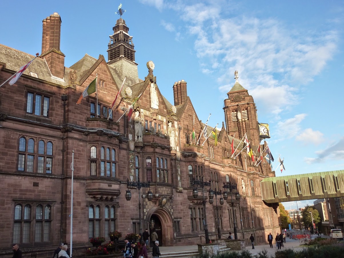
Coventry Council House


Coventry Cathedral


A celebratory local pint of beer
The twenty mile walk took me eight hours in total with four stops, three in cafes and one at my own house in Coventry before the final push into the centre of Coventry.  The weather forecast was for showers but luckily none fell and I had a dry day with pleasant walking temperature.